Brace for icy, sopnat weather
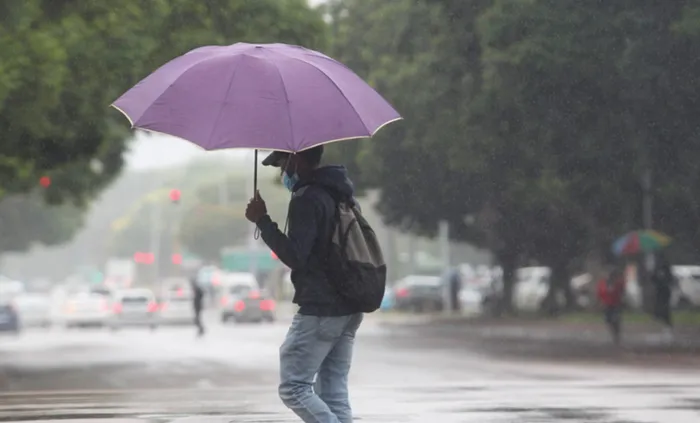
KOUD: Heavy rain expected. Picture: Jacques Naude/African News Agency(ANA)
Capetonians are in for a bitterly koud en nat week as the SA Weather Service (SAWS) warns that the cold front that landed last night is expected to persist with icy cold temperatures, rough winds and heavy showers.
The Saws stated that a series of cold fronts is expected to land this week, bringing rainfall over parts of the Western and Northern Cape.
Spokesperson Stacy Colborne said the Cape Town Weather Office expects a series of cold fronts affecting the province on Tuesday, Wednesday and Thursday with a break in the weather on Friday, adding that it will still be icy with another cold front expected on Saturday.
Kapenaars can expect the temperature to drop to 12°C at night, with a maximum of between 15°C and 16°C forecast for daytime.
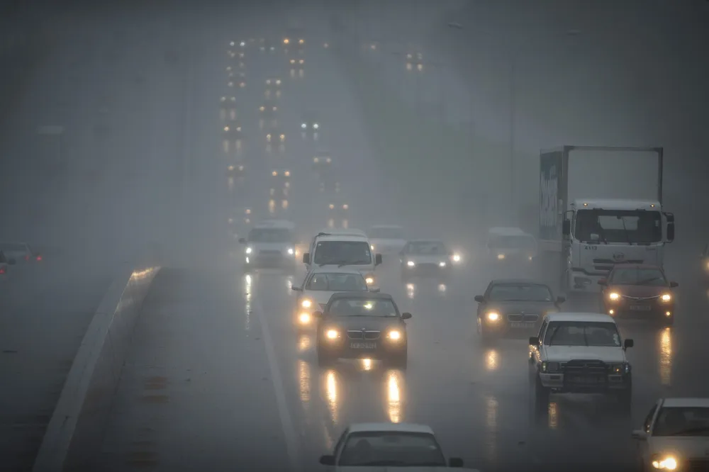
Meanwhile, Western Cape disaster management teams are on standby to assist residents in cases of any localised flooding or other weather-related impacts.
The City of Cape Town has appealed to mense to follow the correct channels when reporting flooding.
The City stated the logging of flooding caused by blockages in the stormwater system, which caused water logged roads, should not be confused with flooding caused by bursts in municipal, or drinking water supply pipes.
The most efficient way to log complaints about road infrastructure is by calling the Transport Information Centre on 0800 65 64 63.